email: design@t33d.co.uk
email: design@t33d.co.uk
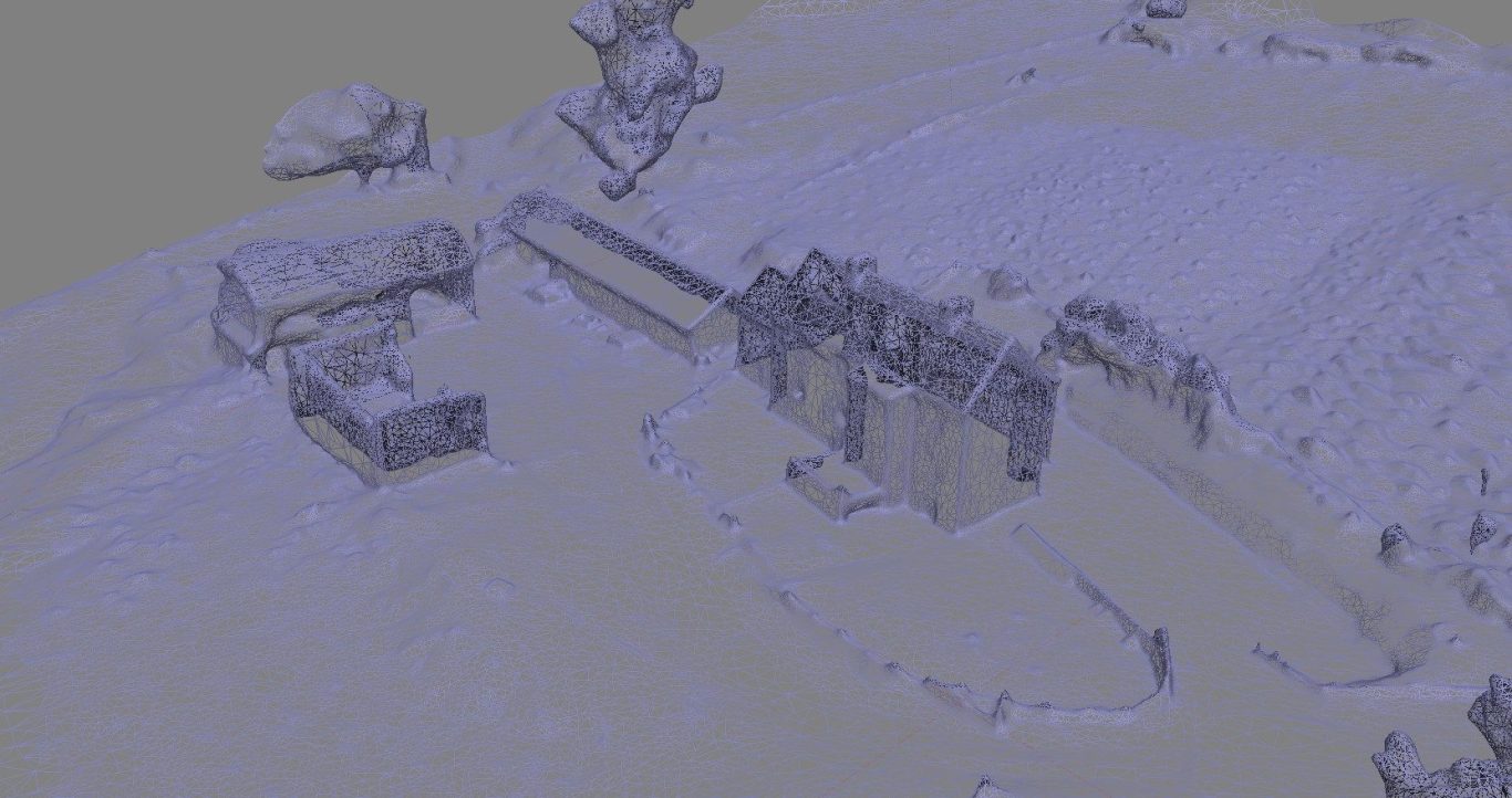
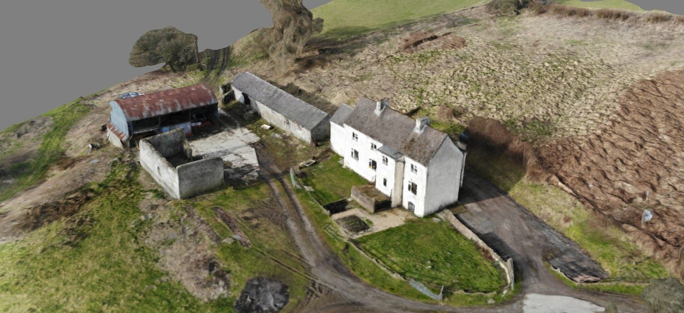
Photogrammetry
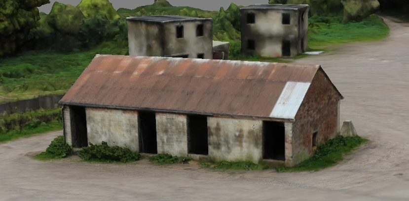

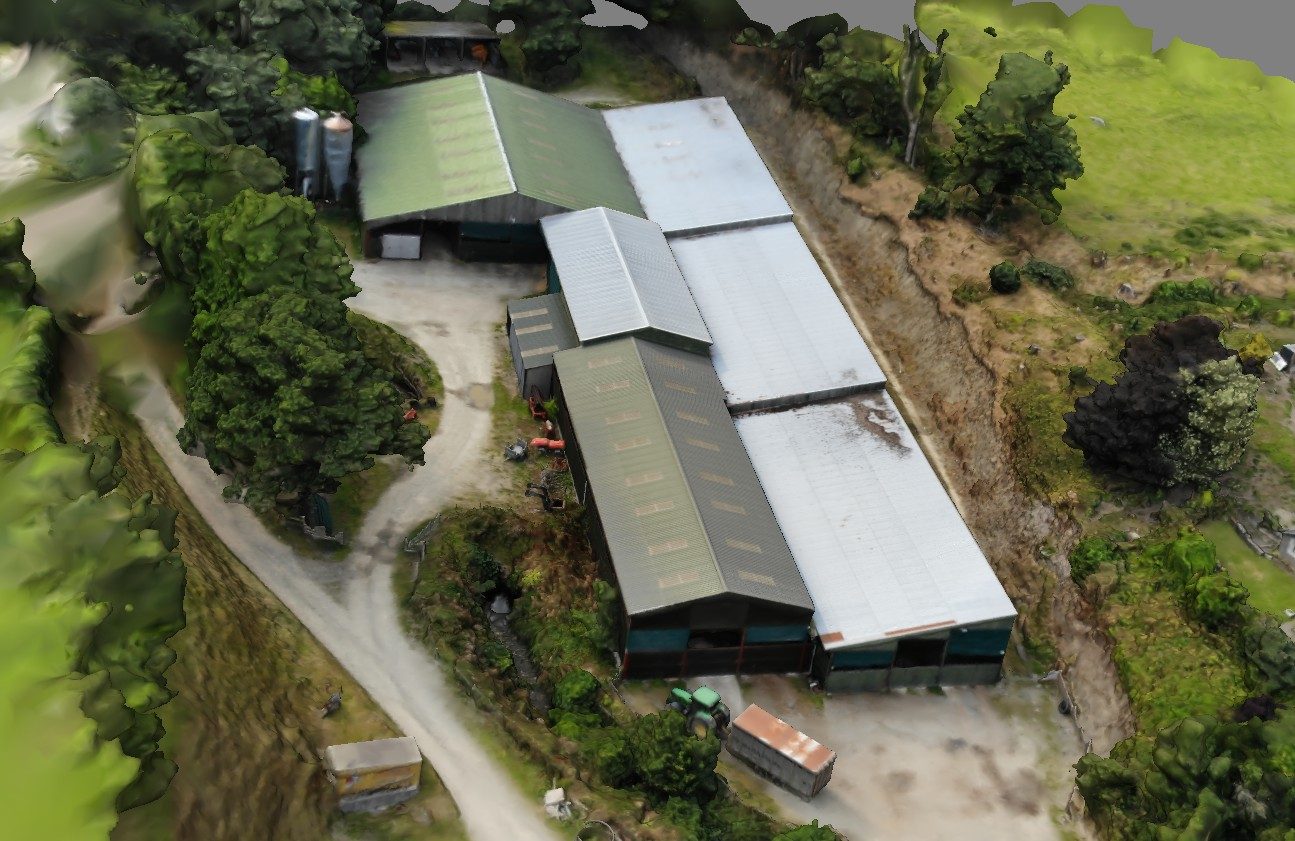
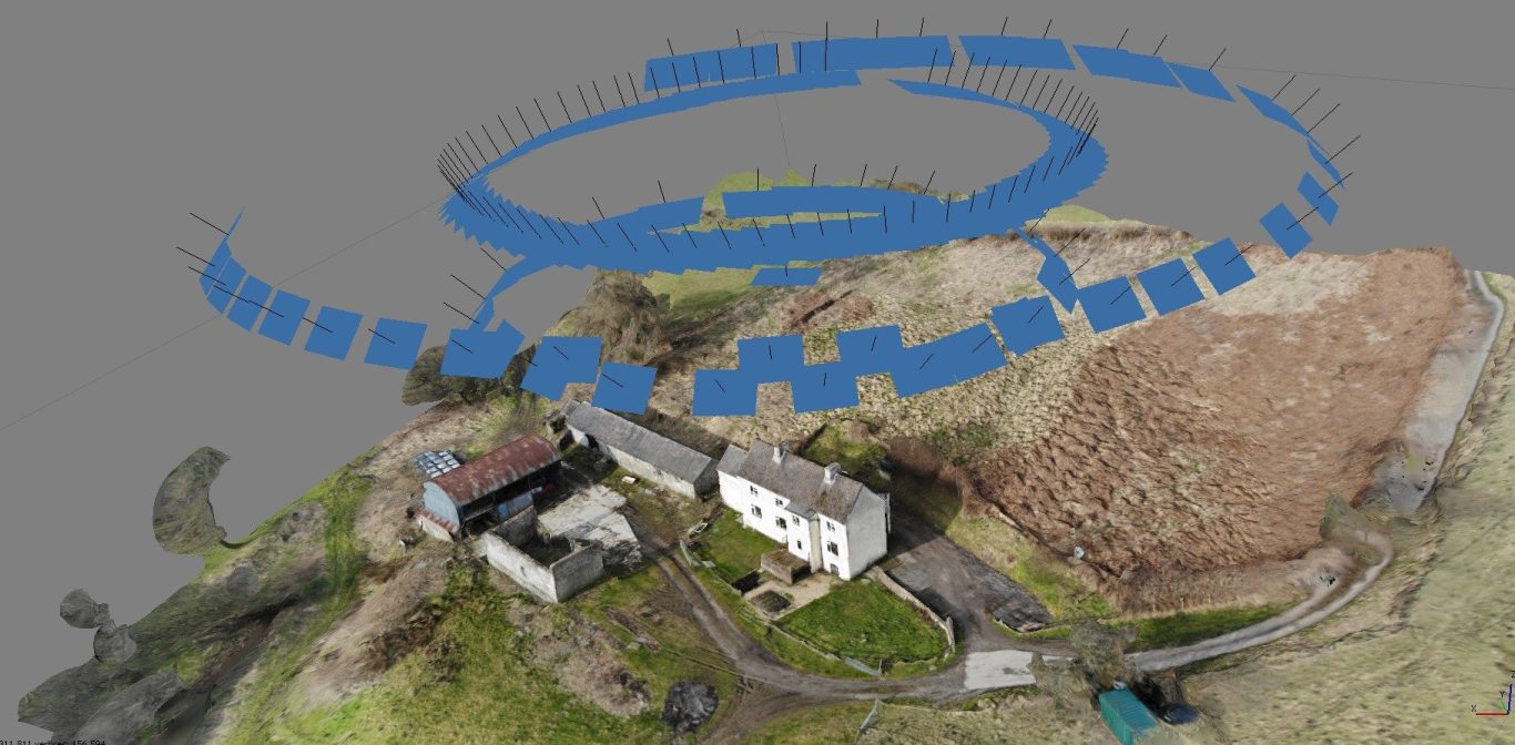
We can put one of our fleet of camera drones up, or take photos from any one of our ground based camera gimbals and quickly generate enough data to create a very accurate 3D visualisation of an area or object.
The science and technique of extracting reliable measurements and 3D information from photographs.
It turns sets of overlapping images into accurate digital models of real world objects, terrains, or structures.
We need your consent to load the translations
We use a third-party service to translate the website content that may collect data about your activity. Please review the details in the privacy policy and accept the service to view the translations.