email: design@t33d.co.uk
email: design@t33d.co.uk
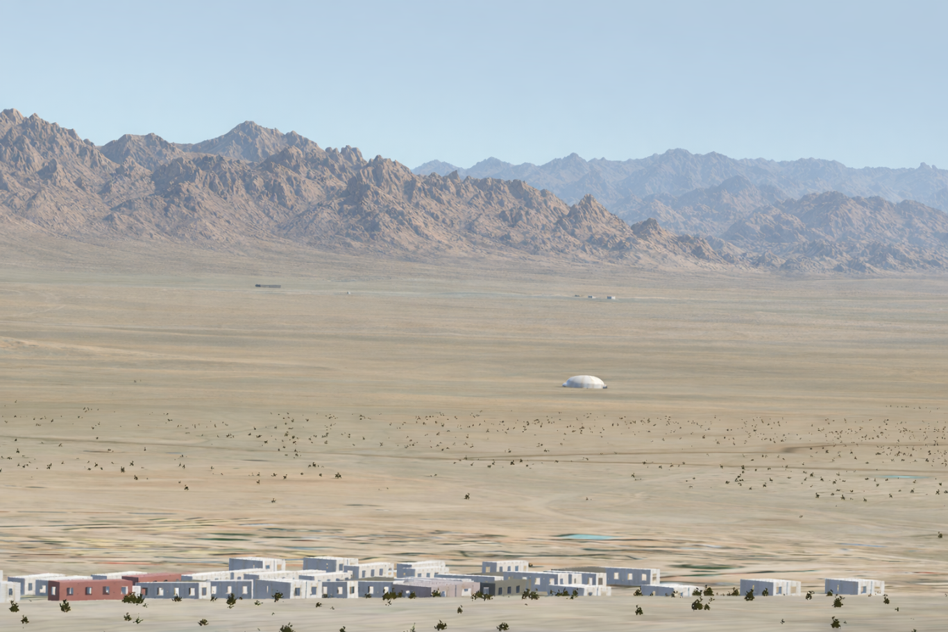
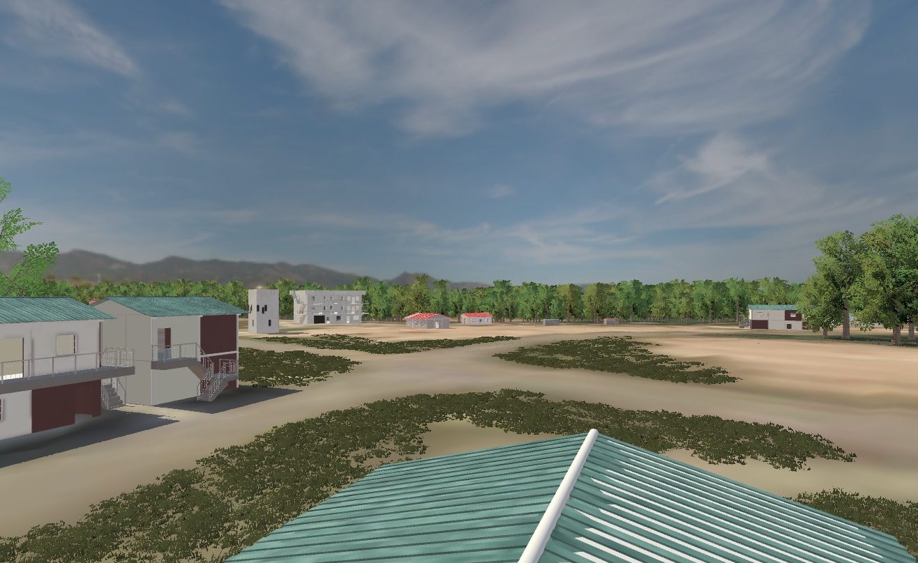
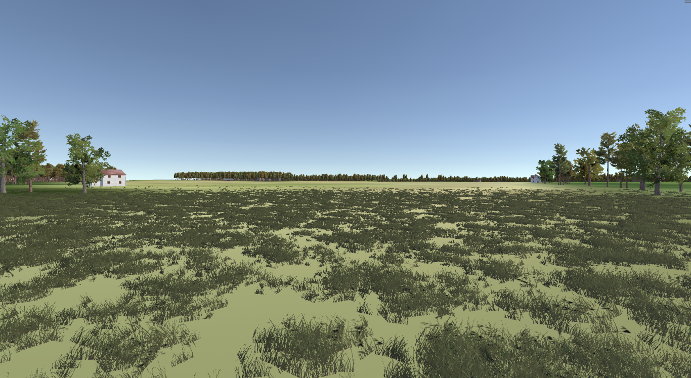
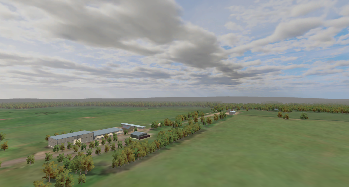
Photorealistic Terrains
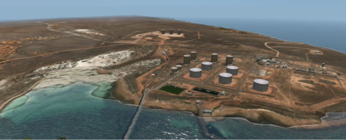
High quality Satellite imagery, Surface Masks and integration of 3d Models or Photogrammetry to bring the Virtual Enviroment to life
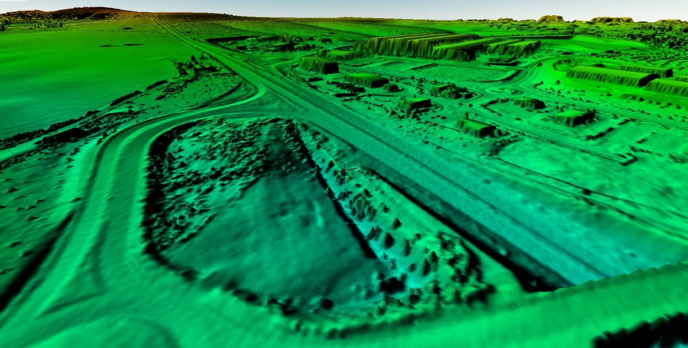
Precise scaleable Geo located Digital Elevation Models (DEM) of real world locations with high levels of precision.
We need your consent to load the translations
We use a third-party service to translate the website content that may collect data about your activity. Please review the details in the privacy policy and accept the service to view the translations.